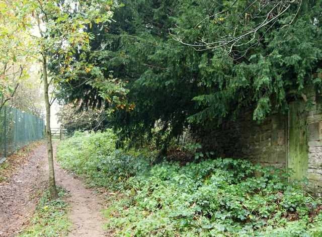
Robin Hood Way, towards Ravenshead
Introduction
The photograph on this page of Robin Hood Way, towards Ravenshead by David Hallam-Jones as part of the Geograph project.
The Geograph project started in 2005 with the aim of publishing, organising and preserving representative images for every square kilometre of Great Britain, Ireland and the Isle of Man.
There are currently over 7.5m images from over 14,400 individuals and you can help contribute to the project by visiting https://www.geograph.org.uk

Image: © David Hallam-Jones Taken: 16 Nov 2014
Newstead Abbey is a 25-30 minute walk away behind the photographer (approximately). At this point a walker is a 15 minute walk away from the B6020 (the Ravenshead-Kirkby in Ashfield road) ahead. On the left behind the fence and parallel with the path (though not visible) are houses on High Leys Drive cluster of side roads . The stone wall is a boundary wall belonging to one of the houses on Haggnook Wood (road name).

