Milner House, Ashtead
Introduction
The photograph on this page of Milner House, Ashtead by David Howard as part of the Geograph project.
The Geograph project started in 2005 with the aim of publishing, organising and preserving representative images for every square kilometre of Great Britain, Ireland and the Isle of Man.

There are currently over 7.5m images from over 14,400 individuals and you can help contribute to the project by visiting https://www.geograph.org.uk
Milner House, Ashtead
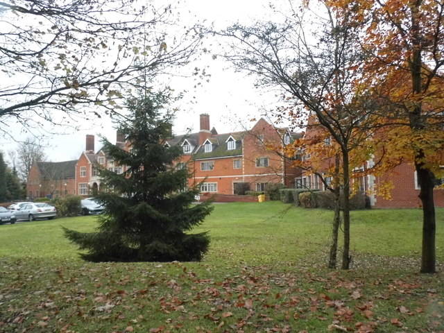
Image: © David Howard Taken: 16 Nov 2014
The Ex-Services Welfare Society building is now a care home. This is the view from above http://www.britainfromabove.org.uk/image/EPW032795
Images are licensed for reuse under creativecommons.org/licenses/by-sa/2.0
Image Location
Latitude
51.297721
Longitude
-0.307022