Boltshope from north-west
Introduction
The photograph on this page of Boltshope from north-west by Andrew Curtis as part of the Geograph project.
The Geograph project started in 2005 with the aim of publishing, organising and preserving representative images for every square kilometre of Great Britain, Ireland and the Isle of Man.

There are currently over 7.5m images from over 14,400 individuals and you can help contribute to the project by visiting https://www.geograph.org.uk
Boltshope from north-west
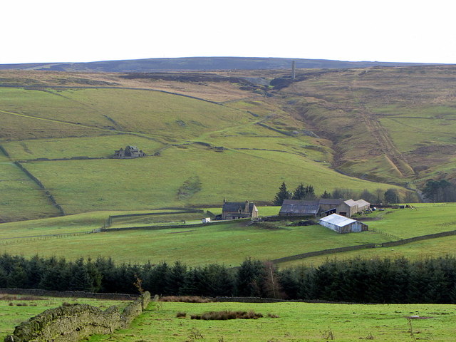
Image: © Andrew Curtis Taken: 16 Nov 2014
The chimney of the disused Sikehead Lead Mine can be seen on the hill above the farm Image To its right the former railway incline can be seen ascending the hill Image
Images are licensed for reuse under creativecommons.org/licenses/by-sa/2.0
Image Location
Latitude
54.816565
Longitude
-2.082599