New Houses Pymore Road
Introduction
The photograph on this page of New Houses Pymore Road by Ray Beer as part of the Geograph project.
The Geograph project started in 2005 with the aim of publishing, organising and preserving representative images for every square kilometre of Great Britain, Ireland and the Isle of Man.

There are currently over 7.5m images from over 14,400 individuals and you can help contribute to the project by visiting https://www.geograph.org.uk
New Houses Pymore Road
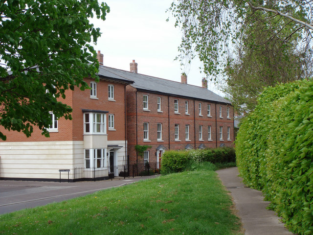
Image: © Ray Beer Taken: 6 May 2007
These new houses are built on the now demolished St Cecilias Convent site.
Images are licensed for reuse under creativecommons.org/licenses/by-sa/2.0
Image Location
Latitude
50.739551
Longitude
-2.756715