Turning circle at the northern end of Caeau Duon, Pencoed
Introduction
The photograph on this page of Turning circle at the northern end of Caeau Duon, Pencoed by Jaggery as part of the Geograph project.
The Geograph project started in 2005 with the aim of publishing, organising and preserving representative images for every square kilometre of Great Britain, Ireland and the Isle of Man.

There are currently over 7.5m images from over 14,400 individuals and you can help contribute to the project by visiting https://www.geograph.org.uk
Turning circle at the northern end of Caeau Duon, Pencoed
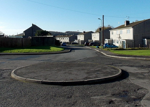
Image: © Jaggery Taken: 14 Nov 2014
Caeau Duon extends for about 300 metres from here to Heol-y-gerddi.
Images are licensed for reuse under creativecommons.org/licenses/by-sa/2.0
Image Location


Leaflet Map data © OpenStreetMap
Latitude
51.529856
Longitude
-3.497768