Road junction at Paddle School
Introduction
The photograph on this page of Road junction at Paddle School by Graham Robson as part of the Geograph project.
The Geograph project started in 2005 with the aim of publishing, organising and preserving representative images for every square kilometre of Great Britain, Ireland and the Isle of Man.

There are currently over 7.5m images from over 14,400 individuals and you can help contribute to the project by visiting https://www.geograph.org.uk
Road junction at Paddle School
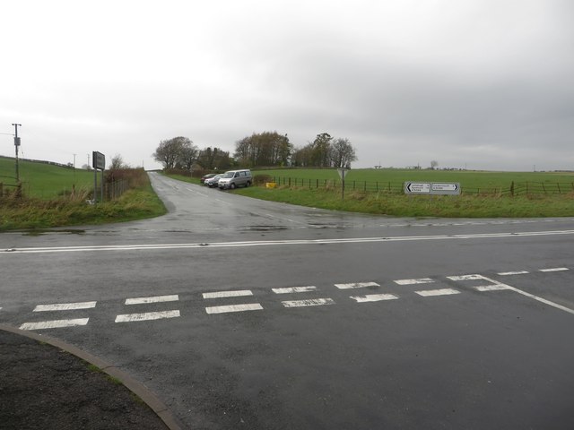
Image: © Graham Robson Taken: 6 Nov 2014
A crossroads between the A5086 and a couple of minor country roads to the south of Cockermouth.
Images are licensed for reuse under creativecommons.org/licenses/by-sa/2.0
Image Location
Latitude
54.638402
Longitude
-3.38278