Severn Way Path and Jubilee Way signpost, Aust Cliff
Introduction
The photograph on this page of Severn Way Path and Jubilee Way signpost, Aust Cliff by Jaggery as part of the Geograph project.
The Geograph project started in 2005 with the aim of publishing, organising and preserving representative images for every square kilometre of Great Britain, Ireland and the Isle of Man.

There are currently over 7.5m images from over 14,400 individuals and you can help contribute to the project by visiting https://www.geograph.org.uk
Severn Way Path and Jubilee Way signpost, Aust Cliff
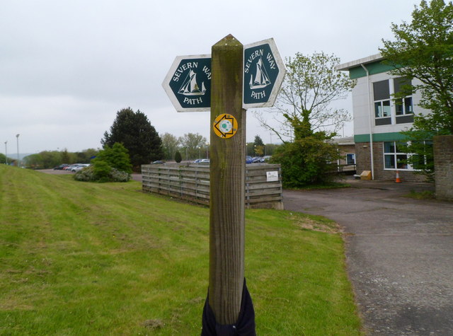
Image: © Jaggery Taken: 20 May 2012
Below the larger Severn Way signs, an arrow on a yellow background points left along The Jubilee Way.
Images are licensed for reuse under creativecommons.org/licenses/by-sa/2.0
Image Location


Leaflet Map data © OpenStreetMap
Latitude
51.605463
Longitude
-2.624463