Greave House Fields at Luddenden Lane
Introduction
The photograph on this page of Greave House Fields at Luddenden Lane by Humphrey Bolton as part of the Geograph project.
The Geograph project started in 2005 with the aim of publishing, organising and preserving representative images for every square kilometre of Great Britain, Ireland and the Isle of Man.

There are currently over 7.5m images from over 14,400 individuals and you can help contribute to the project by visiting https://www.geograph.org.uk
Greave House Fields at Luddenden Lane
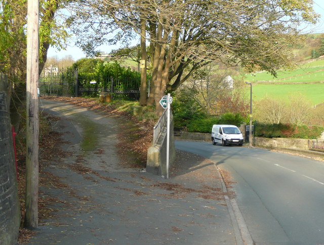
Image: © Humphrey Bolton Taken: 10 Nov 2014
This is the eastern end of Sowerby Bridge Bridleway 27. The signpost also points right to a footpath that crosses Luddenden Brook. There is a letter box by the telephone pole.
Images are licensed for reuse under creativecommons.org/licenses/by-sa/2.0
Image Location
Latitude
53.727055
Longitude
-1.939035