Gringley on the Hill Community Centre
Introduction
The photograph on this page of Gringley on the Hill Community Centre by Alan Murray-Rust as part of the Geograph project.
The Geograph project started in 2005 with the aim of publishing, organising and preserving representative images for every square kilometre of Great Britain, Ireland and the Isle of Man.

There are currently over 7.5m images from over 14,400 individuals and you can help contribute to the project by visiting https://www.geograph.org.uk
Gringley on the Hill Community Centre
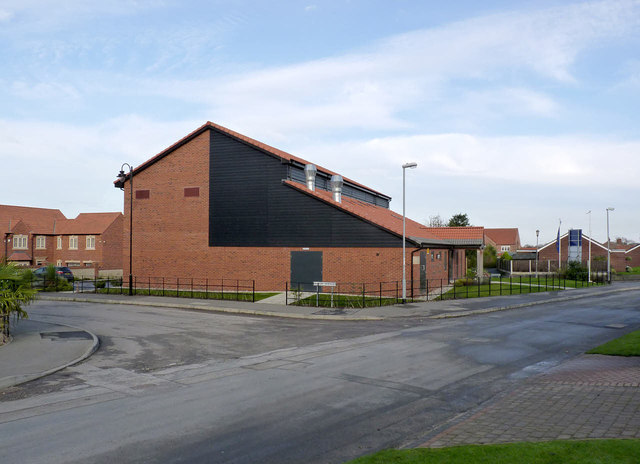
Image: © Alan Murray-Rust Taken: 9 Nov 2014
Built in conjunction with new housing development on the site of the former H M Detention Centre. despite the laying of the foundation stone in 2011, legal complications delayed the opening until October 2014. It is a great improvement on the old village hall on High Street http://www.geograph.org.uk/photo/4242517.
Images are licensed for reuse under creativecommons.org/licenses/by-sa/2.0
Image Location


Leaflet Map data © OpenStreetMap
Latitude
53.408482
Longitude
-0.898662