Gringley Village Cross
Introduction
The photograph on this page of Gringley Village Cross by Alan Murray-Rust as part of the Geograph project.
The Geograph project started in 2005 with the aim of publishing, organising and preserving representative images for every square kilometre of Great Britain, Ireland and the Isle of Man.

There are currently over 7.5m images from over 14,400 individuals and you can help contribute to the project by visiting https://www.geograph.org.uk
Gringley Village Cross
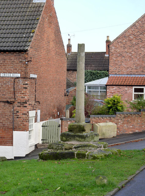
Image: © Alan Murray-Rust Taken: 9 Nov 2014
Medieval market or wayside cross, it is thought to be at or close to its original position. Listed as 14th century although the scheduling as a monument does not refer to a specific century. Listed Grade II and Scheduled Monument.
Images are licensed for reuse under creativecommons.org/licenses/by-sa/2.0
Image Location
Latitude
53.407913
Longitude
-0.895367