Manor Court, Wakefield Road
Introduction
The photograph on this page of Manor Court, Wakefield Road by Rose and Trev Clough as part of the Geograph project.
The Geograph project started in 2005 with the aim of publishing, organising and preserving representative images for every square kilometre of Great Britain, Ireland and the Isle of Man.

There are currently over 7.5m images from over 14,400 individuals and you can help contribute to the project by visiting https://www.geograph.org.uk
Manor Court, Wakefield Road
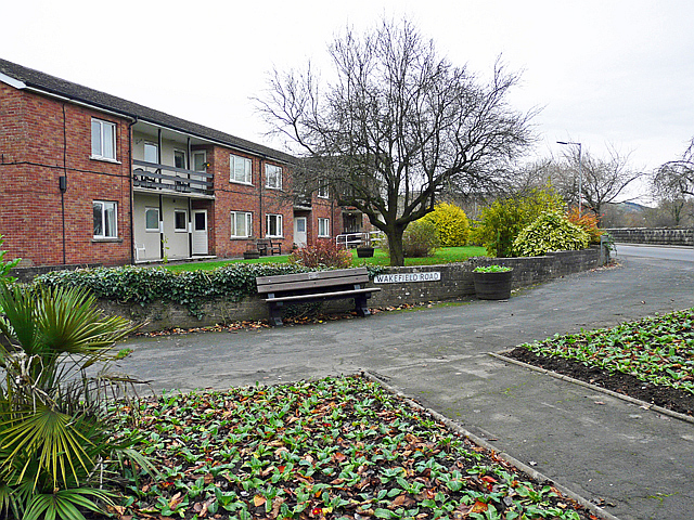
Image: © Rose and Trev Clough Taken: 22 Nov 2008
A sheltered housing complex, built in the 1960s. The flats suffered damage in the November 2009 floods, and were demolished in 2010. A new housing development for the over-55s, called Bridge End Court, has been built on the site.
Images are licensed for reuse under creativecommons.org/licenses/by-sa/2.0
Image Location
Latitude
54.664688
Longitude
-3.371114