The River Eden, Carlisle
Introduction
The photograph on this page of The River Eden, Carlisle by Graham Robson as part of the Geograph project.
The Geograph project started in 2005 with the aim of publishing, organising and preserving representative images for every square kilometre of Great Britain, Ireland and the Isle of Man.

There are currently over 7.5m images from over 14,400 individuals and you can help contribute to the project by visiting https://www.geograph.org.uk
The River Eden, Carlisle
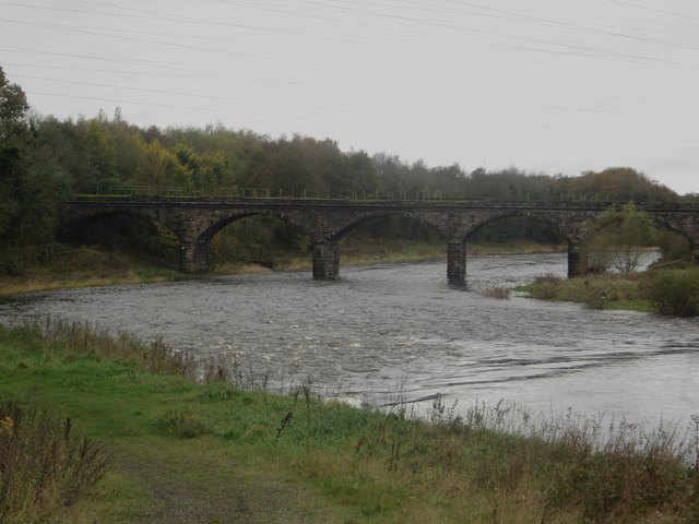
Image: © Graham Robson Taken: 30 Oct 2014
Looking downstream along the River Eden as it flows through the western outskirts of Carlisle. The bridge in the distance is a disused railway crossing of the river.
Images are licensed for reuse under creativecommons.org/licenses/by-sa/2.0
Image Location
Latitude
54.899871
Longitude
-2.960851