Farms near Kneel Gate
Introduction
The photograph on this page of Farms near Kneel Gate by Derek Harper as part of the Geograph project.
The Geograph project started in 2005 with the aim of publishing, organising and preserving representative images for every square kilometre of Great Britain, Ireland and the Isle of Man.

There are currently over 7.5m images from over 14,400 individuals and you can help contribute to the project by visiting https://www.geograph.org.uk
Farms near Kneel Gate
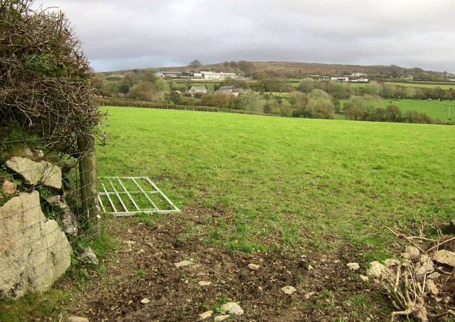
Image: © Derek Harper Taken: 1 Nov 2014
From the lane shown in Image, with Bugle Farm the nearest of the left, a large cluster of animal sheds beyond it, and Higher Bughill Farm (Bugle and Bughill doubtless variants of the same word) on the right. Image] looks to the right from the same spot.
Images are licensed for reuse under creativecommons.org/licenses/by-sa/2.0
Image Location
Latitude
50.43884
Longitude
-4.051717