The A489 above Cefn-vastre
Introduction
The photograph on this page of The A489 above Cefn-vastre by Bill Boaden as part of the Geograph project.
The Geograph project started in 2005 with the aim of publishing, organising and preserving representative images for every square kilometre of Great Britain, Ireland and the Isle of Man.

There are currently over 7.5m images from over 14,400 individuals and you can help contribute to the project by visiting https://www.geograph.org.uk
The A489 above Cefn-vastre
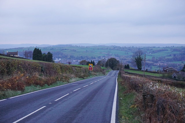
Image: © Bill Boaden Taken: 30 Oct 2014
The road is dropping steadily into the Severn Valley and Newtown, which can be seen ahead. The daylight is beginning to fade.
Images are licensed for reuse under creativecommons.org/licenses/by-sa/2.0
Image Location
Latitude
52.510691
Longitude
-3.278778