Lane near Drefor Farm
Introduction
The photograph on this page of Lane near Drefor Farm by Bill Boaden as part of the Geograph project.
The Geograph project started in 2005 with the aim of publishing, organising and preserving representative images for every square kilometre of Great Britain, Ireland and the Isle of Man.

There are currently over 7.5m images from over 14,400 individuals and you can help contribute to the project by visiting https://www.geograph.org.uk
Lane near Drefor Farm
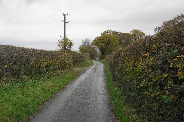
Image: © Bill Boaden Taken: 30 Oct 2014
The farm can just be seen ahead. All the hedges have received their autumn trim, but they are still high enough to obscure any view.
Images are licensed for reuse under creativecommons.org/licenses/by-sa/2.0
Image Location
Latitude
52.491036
Longitude
-3.224596