Chalkland Way crosses planted field
Introduction
The photograph on this page of Chalkland Way crosses planted field by Martin Dawes as part of the Geograph project.
The Geograph project started in 2005 with the aim of publishing, organising and preserving representative images for every square kilometre of Great Britain, Ireland and the Isle of Man.

There are currently over 7.5m images from over 14,400 individuals and you can help contribute to the project by visiting https://www.geograph.org.uk
Chalkland Way crosses planted field
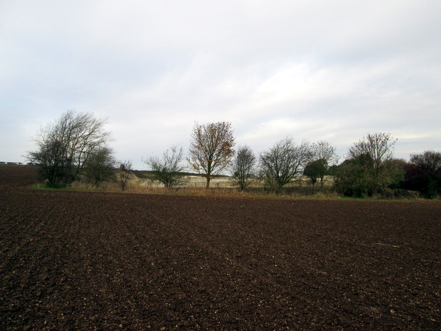
Image: © Martin Dawes Taken: 6 Nov 2014
The Chalkland Way long distance footpath this section between Wetwang and Fimber, the white chalk area behind the trees at the field edge used to have rows of sheds, either pigs or poultry, now totally dismantled and cleared.
Images are licensed for reuse under creativecommons.org/licenses/by-sa/2.0
Image Location
Latitude
54.026874
Longitude
-0.610195