Rashy field, Tandlehill
Introduction
The photograph on this page of Rashy field, Tandlehill by Richard Webb as part of the Geograph project.
The Geograph project started in 2005 with the aim of publishing, organising and preserving representative images for every square kilometre of Great Britain, Ireland and the Isle of Man.

There are currently over 7.5m images from over 14,400 individuals and you can help contribute to the project by visiting https://www.geograph.org.uk
Rashy field, Tandlehill
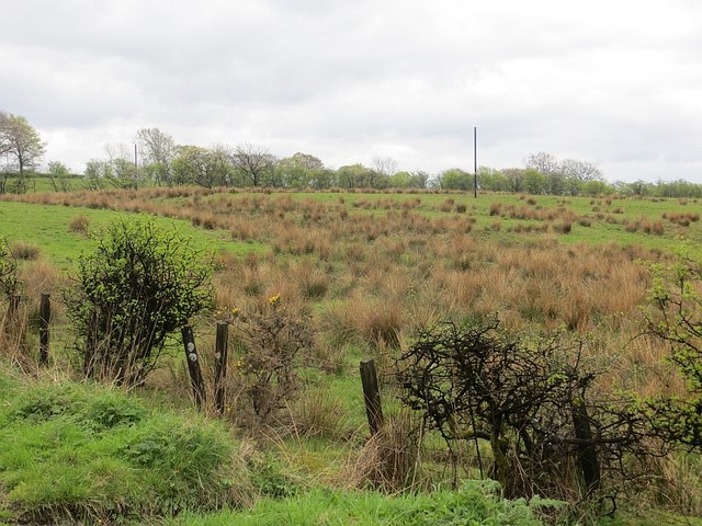
Image: © Richard Webb Taken: 25 Apr 2014
The thorns in the foreground are black with whisky fungus from the nearby bonds. There are new warehouses being built and it is quite possible that this wet field may end up growing warehouses in the future. Whisky is fashion dependent and is enjoying popularity now, but will certainly once again fall from favour as it did during the 1980s. I will do my best to support the industry whatever is trendy or not.
Images are licensed for reuse under creativecommons.org/licenses/by-sa/2.0
Image Location
Latitude
55.732287
Longitude
-4.583888