A620 North Wheatley bypass
Introduction
The photograph on this page of A620 North Wheatley bypass by Alan Murray-Rust as part of the Geograph project.
The Geograph project started in 2005 with the aim of publishing, organising and preserving representative images for every square kilometre of Great Britain, Ireland and the Isle of Man.

There are currently over 7.5m images from over 14,400 individuals and you can help contribute to the project by visiting https://www.geograph.org.uk
A620 North Wheatley bypass
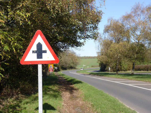
Image: © Alan Murray-Rust Taken: 4 Nov 2014
Created around 1950 to eliminate the use of the narrow roads through the village for the main Retford to Gainsborough road.
Images are licensed for reuse under creativecommons.org/licenses/by-sa/2.0
Image Location
Latitude
53.364057
Longitude
-0.867799