Upper Cruach, Islay
Introduction
The photograph on this page of Upper Cruach, Islay by Becky Williamson as part of the Geograph project.
The Geograph project started in 2005 with the aim of publishing, organising and preserving representative images for every square kilometre of Great Britain, Ireland and the Isle of Man.

There are currently over 7.5m images from over 14,400 individuals and you can help contribute to the project by visiting https://www.geograph.org.uk
Upper Cruach, Islay
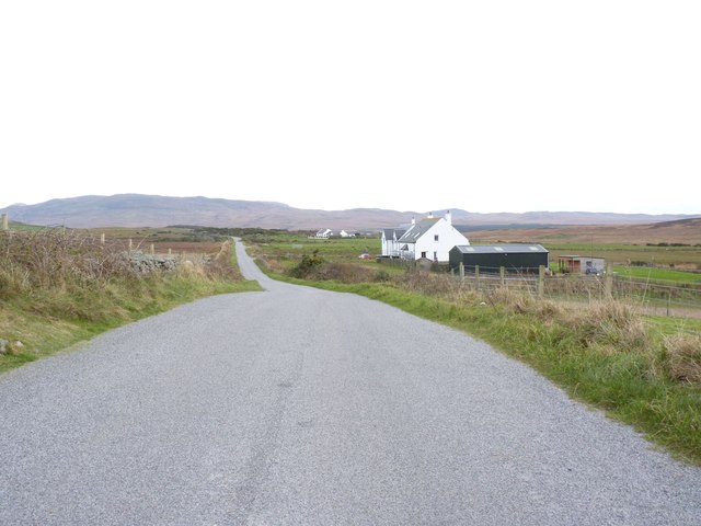
Image: © Becky Williamson Taken: 5 Nov 2014
The minor road just out of Bowmore which connects the 'high road' with the 'low road'.
Images are licensed for reuse under creativecommons.org/licenses/by-sa/2.0
Image Location


Leaflet Map data © OpenStreetMap
Latitude
55.746437
Longitude
-6.267286