A382 north of Woolley
Introduction
The photograph on this page of A382 north of Woolley by David Smith as part of the Geograph project.
The Geograph project started in 2005 with the aim of publishing, organising and preserving representative images for every square kilometre of Great Britain, Ireland and the Isle of Man.

There are currently over 7.5m images from over 14,400 individuals and you can help contribute to the project by visiting https://www.geograph.org.uk
A382 north of Woolley
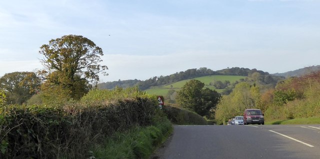
Image: © David Smith Taken: 31 Oct 2014
Between Woolley and King's Cross, the A382 crosses a slight ridge. From the top of the ridge there is a view of the hills and woodland around Northcombe
Images are licensed for reuse under creativecommons.org/licenses/by-sa/2.0
Image Location
Latitude
50.606811
Longitude
-3.690284