Entrance to Waldridge Manor and NIMBY poster
Introduction
The photograph on this page of Entrance to Waldridge Manor and NIMBY poster by Bikeboy as part of the Geograph project.
The Geograph project started in 2005 with the aim of publishing, organising and preserving representative images for every square kilometre of Great Britain, Ireland and the Isle of Man.

There are currently over 7.5m images from over 14,400 individuals and you can help contribute to the project by visiting https://www.geograph.org.uk
Entrance to Waldridge Manor and NIMBY poster
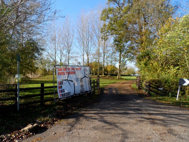
Image: © Bikeboy Taken: 1 Nov 2014
Waldridge Manor is a C16 house. See http://www.britishlistedbuildings.co.uk/en-43079-waldridge-manor-dinton-with-ford-and-upto for entry in British Listed Buildings. Anti-development posters are a common feature of this area. See http://www.geograph.org.uk/browser/#!/q=user32413/realname+%22Bikeboy%22/takenyear+%222014%22/takenmonth+%22201403%22/page=7/image=3894456 for another example of opposition to another construction project
Images are licensed for reuse under creativecommons.org/licenses/by-sa/2.0
Image Location
Latitude
51.756643
Longitude
-0.863667