B776, Howwood
Introduction
The photograph on this page of B776, Howwood by Richard Webb as part of the Geograph project.
The Geograph project started in 2005 with the aim of publishing, organising and preserving representative images for every square kilometre of Great Britain, Ireland and the Isle of Man.

There are currently over 7.5m images from over 14,400 individuals and you can help contribute to the project by visiting https://www.geograph.org.uk
B776, Howwood
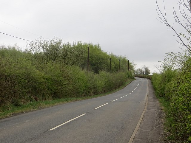
Image: © Richard Webb Taken: 25 Apr 2014
A climb, above Elliston Castle. There is thorn scrub on either side of the road where farmland has just stopped being used.
Images are licensed for reuse under creativecommons.org/licenses/by-sa/2.0
Image Location


Leaflet Map data © OpenStreetMap
Latitude
55.804532
Longitude
-4.563459