Fields near Bryndyffryn
Introduction
The photograph on this page of Fields near Bryndyffryn by Jonathan Wilkins as part of the Geograph project.
The Geograph project started in 2005 with the aim of publishing, organising and preserving representative images for every square kilometre of Great Britain, Ireland and the Isle of Man.

There are currently over 7.5m images from over 14,400 individuals and you can help contribute to the project by visiting https://www.geograph.org.uk
Fields near Bryndyffryn
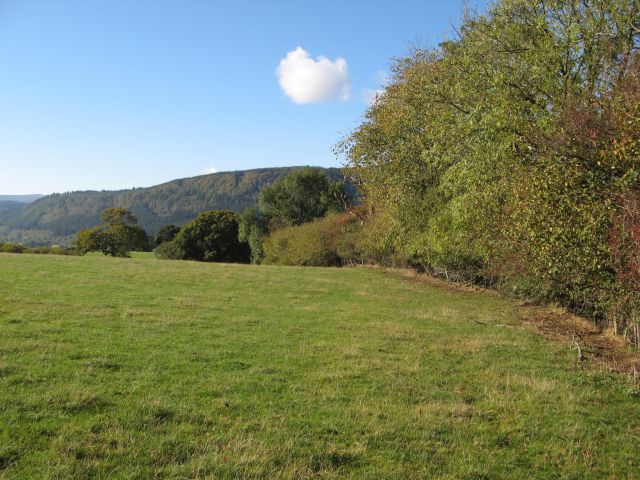
Image: © Jonathan Wilkins Taken: 12 Oct 2014
Footpaths near here are not well marked or used, so we were forced to ad-lib and head for another route nearby. The mature trees of the hedgerow were a delight in the Autumn sunshine. In the distance are the dark, conifers of the Gwydir Forest.
Images are licensed for reuse under creativecommons.org/licenses/by-sa/2.0
Image Location
Latitude
53.135287
Longitude
-3.772322