St Paul's Street North, Cheltenham
Introduction
The photograph on this page of St Paul's Street North, Cheltenham by Derek Harper as part of the Geograph project.
The Geograph project started in 2005 with the aim of publishing, organising and preserving representative images for every square kilometre of Great Britain, Ireland and the Isle of Man.

There are currently over 7.5m images from over 14,400 individuals and you can help contribute to the project by visiting https://www.geograph.org.uk
St Paul's Street North, Cheltenham
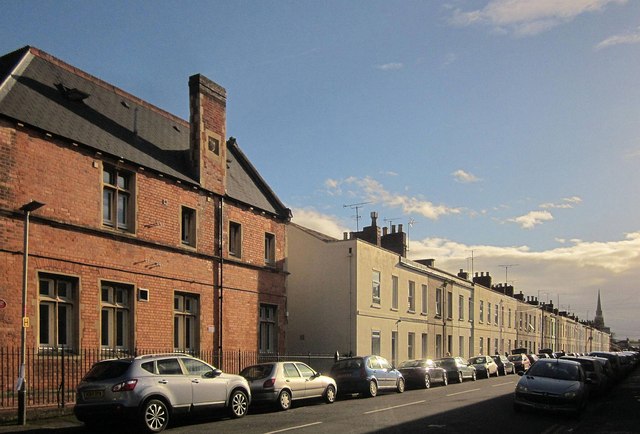
Image: © Derek Harper Taken: 25 Oct 2014
A terrace of 34 properties, seen from the junction with St Paul's Road. On the immediate left is Bramah House. In the distance is the octagonal spire; of St Gregory's church http://list.english-heritage.org.uk/resultsingle.aspx?uid=1387870&searchtype=mapsearch .
Images are licensed for reuse under creativecommons.org/licenses/by-sa/2.0
Image Location
Latitude
51.906232
Longitude
-2.077865