Upper Hammond's Farm
Introduction
The photograph on this page of Upper Hammond's Farm by Alan Hunt as part of the Geograph project.
The Geograph project started in 2005 with the aim of publishing, organising and preserving representative images for every square kilometre of Great Britain, Ireland and the Isle of Man.

There are currently over 7.5m images from over 14,400 individuals and you can help contribute to the project by visiting https://www.geograph.org.uk
Upper Hammond's Farm
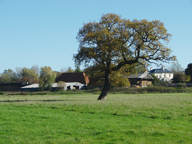
Image: © Alan Hunt Taken: 28 Oct 2014
Looking across the field from the Long Walk towards the buildings of Upper Hammond's Farm on the edge of West Horsley.
Images are licensed for reuse under creativecommons.org/licenses/by-sa/2.0
Image Location
Latitude
51.263859
Longitude
-0.459771