The bottom of Vanbrugh Terrace
Introduction
The photograph on this page of The bottom of Vanbrugh Terrace by Bill Boaden as part of the Geograph project.
The Geograph project started in 2005 with the aim of publishing, organising and preserving representative images for every square kilometre of Great Britain, Ireland and the Isle of Man.

There are currently over 7.5m images from over 14,400 individuals and you can help contribute to the project by visiting https://www.geograph.org.uk
The bottom of Vanbrugh Terrace
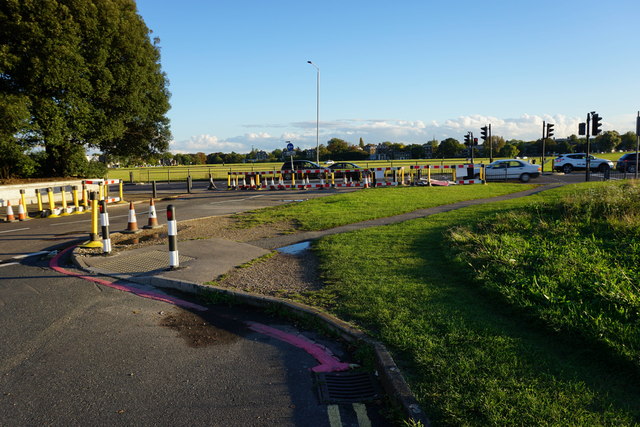
Image: © Bill Boaden Taken: 11 Oct 2014
The road has been blocked off at its junction with the A2. This looks temporary at the moment but I am sure it will be made more permanent.
Images are licensed for reuse under creativecommons.org/licenses/by-sa/2.0
Image Location
Latitude
51.473248
Longitude
0.012079