Millfield Barn, Pickwell Lane
Introduction
The photograph on this page of Millfield Barn, Pickwell Lane by Simon Carey as part of the Geograph project.
The Geograph project started in 2005 with the aim of publishing, organising and preserving representative images for every square kilometre of Great Britain, Ireland and the Isle of Man.

There are currently over 7.5m images from over 14,400 individuals and you can help contribute to the project by visiting https://www.geograph.org.uk
Millfield Barn, Pickwell Lane
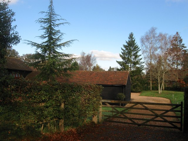
Image: © Simon Carey Taken: 28 Oct 2014
A converted barn now a residence. The barn was previously known as Noah's Ark until at least the 1962 OS map after which it becomes Millfields Farm. The name Millfields comes from a house to the north that fronts onto Broxmead Lane though a field to the south is also called Windmill Field which may suggest a site of a former mill or fields owned by a local miller. However, there was nothing marked on the 1843 tithe map nor the 1813 OS map.
Images are licensed for reuse under creativecommons.org/licenses/by-sa/2.0
Image Location
Latitude
51.000924
Longitude
-0.185015