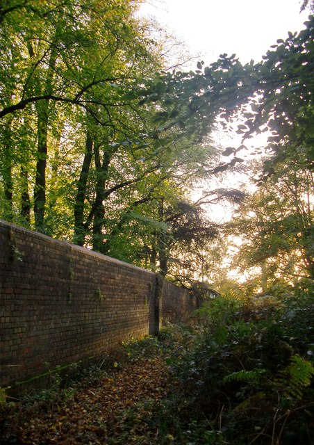
By the Park wall, Broomfield Hill
Introduction
The photograph on this page of By the Park wall, Broomfield Hill by Stefan Czapski as part of the Geograph project.
The Geograph project started in 2005 with the aim of publishing, organising and preserving representative images for every square kilometre of Great Britain, Ireland and the Isle of Man.
There are currently over 7.5m images from over 14,400 individuals and you can help contribute to the project by visiting https://www.geograph.org.uk

Image: © Stefan Czapski Taken: 31 Oct 2014
The trees on this part of Broomfield Hill are mostly beech and hornbeam. At this point along the Park boundary, the beeches on the far side of the wall - in private grounds - appear as tall as any inside the Park. When the Park was first enclosed - in the reign of Charles I - a continuous passageway (the freebord) was left just outside the wall. Along this stretch of the boundary the freebord has disappeared - and I assume it was absorbed into various plots outside the park. Elsewhere it still exists, the most extensive stretch being between Roehampton and Sheen Gates: http://www.geograph.org.uk/photo/2257983 http://www.geograph.org.uk/photo/2188403 Richmond Park is a National Nature Reserve.

