Site of Whitwell village.
Introduction
The photograph on this page of Site of Whitwell village. by Roger Smith as part of the Geograph project.
The Geograph project started in 2005 with the aim of publishing, organising and preserving representative images for every square kilometre of Great Britain, Ireland and the Isle of Man.

There are currently over 7.5m images from over 14,400 individuals and you can help contribute to the project by visiting https://www.geograph.org.uk
Site of Whitwell village.
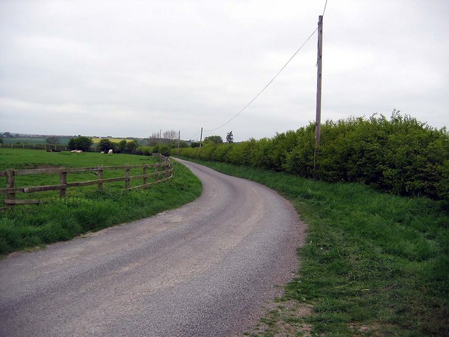
Image: © Roger Smith Taken: 4 May 2007
It’s difficult to imagine that a village of some 180 souls straddled this lane in 1861. However, mining at the adjacent Whitwell colliery ended in 1875 and houses gradually fell into disrepair and were abandoned. The last ones to go were Wood Row cottages that were in the field to the left of the lane. These were still shown on maps in the nineteen forties.
Images are licensed for reuse under creativecommons.org/licenses/by-sa/2.0
Image Location
Latitude
54.75949
Longitude
-1.522751