Neat rows near Charity Farm
Introduction
The photograph on this page of Neat rows near Charity Farm by John Robinson as part of the Geograph project.
The Geograph project started in 2005 with the aim of publishing, organising and preserving representative images for every square kilometre of Great Britain, Ireland and the Isle of Man.

There are currently over 7.5m images from over 14,400 individuals and you can help contribute to the project by visiting https://www.geograph.org.uk
Neat rows near Charity Farm
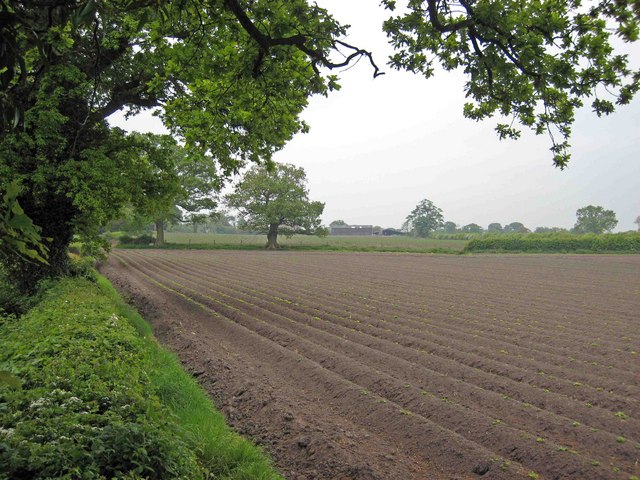
Image: © John Robinson Taken: 4 May 2007
Charity Farm is in the distance beyond this immaculate farmland, close to an active sand quarry.
Images are licensed for reuse under creativecommons.org/licenses/by-sa/2.0
Image Location
Latitude
53.151252
Longitude
-2.260137