Western panorama to Snowdonia from Graig Fawr, Meliden 1951
Introduction
The photograph on this page of Western panorama to Snowdonia from Graig Fawr, Meliden 1951 by Ben Brooksbank as part of the Geograph project.
The Geograph project started in 2005 with the aim of publishing, organising and preserving representative images for every square kilometre of Great Britain, Ireland and the Isle of Man.

There are currently over 7.5m images from over 14,400 individuals and you can help contribute to the project by visiting https://www.geograph.org.uk
Western panorama to Snowdonia from Graig Fawr, Meliden 1951
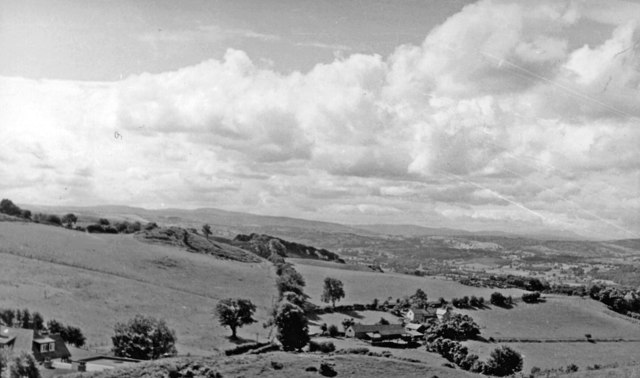
Image: © Ben Brooksbank Taken: 5 Aug 1951
Heading westward on the A547 road at Meliden near Prestatyn in Flintshire (as it was then), on a fine day the magnificent panorama of Snowdonia unfolded. In the middle distance the Pen-y-Mwddwl and Mynydd Llanellan ranges in Denbighshire of about 1,000 ft., then far on the horizon the 3,500 ft. Carnedd peaks west of the Conwy Valley and east of Snowdon itself. (Cf. Image).
Images are licensed for reuse under creativecommons.org/licenses/by-sa/2.0
Image Location
Latitude
53.312061
Longitude
-3.413382