Honeystreet Bridge and wharf, Kennet and Avon Canal
Introduction
The photograph on this page of Honeystreet Bridge and wharf, Kennet and Avon Canal by Dr Neil Clifton as part of the Geograph project.
The Geograph project started in 2005 with the aim of publishing, organising and preserving representative images for every square kilometre of Great Britain, Ireland and the Isle of Man.

There are currently over 7.5m images from over 14,400 individuals and you can help contribute to the project by visiting https://www.geograph.org.uk
Honeystreet Bridge and wharf, Kennet and Avon Canal
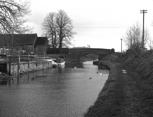
Image: © Dr Neil Clifton Taken: 5 Feb 1977
Looking from the west. The disused wharf is seen at the left.
Images are licensed for reuse under creativecommons.org/licenses/by-sa/2.0
Image Location
Latitude
51.352843
Longitude
-1.85233