Antonine Wall Sign
Introduction
The photograph on this page of Antonine Wall Sign by Raymond Okonski as part of the Geograph project.
The Geograph project started in 2005 with the aim of publishing, organising and preserving representative images for every square kilometre of Great Britain, Ireland and the Isle of Man.

There are currently over 7.5m images from over 14,400 individuals and you can help contribute to the project by visiting https://www.geograph.org.uk
Antonine Wall Sign
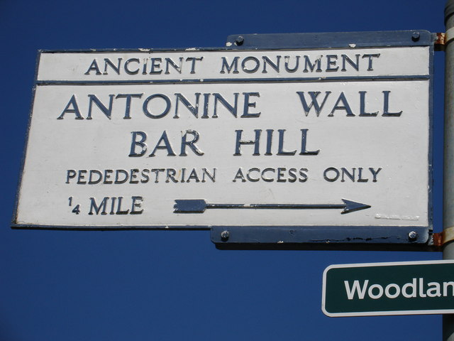
Image: © Raymond Okonski Taken: 3 May 2007
This original sign dates from the 1930's and is location close to the War Memorial at Twechar
Images are licensed for reuse under creativecommons.org/licenses/by-sa/2.0
Image Location
Latitude
55.956794
Longitude
-4.08201