Ashby Canal at Mill Farm Park
Introduction
The photograph on this page of Ashby Canal at Mill Farm Park by Mat Fascione as part of the Geograph project.
The Geograph project started in 2005 with the aim of publishing, organising and preserving representative images for every square kilometre of Great Britain, Ireland and the Isle of Man.

There are currently over 7.5m images from over 14,400 individuals and you can help contribute to the project by visiting https://www.geograph.org.uk
Ashby Canal at Mill Farm Park
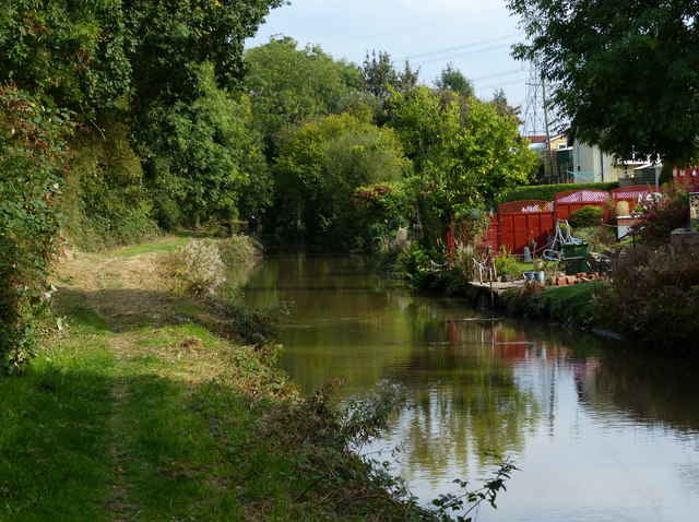
Image: © Mat Fascione Taken: 28 Sep 2014
The navigable part of the Ashby Canal heads in a northerly direction for 22 miles, from its start at Marston Junction, to its terminus north of Snarestone. There are no locks along its entire length.
Images are licensed for reuse under creativecommons.org/licenses/by-sa/2.0
Image Location
Latitude
52.497177
Longitude
-1.43094