At the end of Franchise Street
Introduction
The photograph on this page of At the end of Franchise Street by Neil Owen as part of the Geograph project.
The Geograph project started in 2005 with the aim of publishing, organising and preserving representative images for every square kilometre of Great Britain, Ireland and the Isle of Man.

There are currently over 7.5m images from over 14,400 individuals and you can help contribute to the project by visiting https://www.geograph.org.uk
At the end of Franchise Street
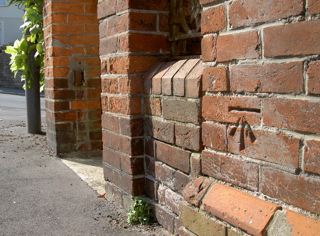
Image: © Neil Owen Taken: 3 Sep 2014
A benchmark, deeply inscribed in the brickwork of a large house at the west end of Franchise Street. It dates from the inter-war period, although the house itself is from the late nineteenth century. See http://www.bench-marks.org.uk/bm61544 for the entry in the Benchmark Database and Image] for a wider view.
Images are licensed for reuse under creativecommons.org/licenses/by-sa/2.0
Image Location
Latitude
50.605309
Longitude
-2.459919