Former railway bridge, Peene
Introduction
The photograph on this page of Former railway bridge, Peene by Robin Webster as part of the Geograph project.
The Geograph project started in 2005 with the aim of publishing, organising and preserving representative images for every square kilometre of Great Britain, Ireland and the Isle of Man.

There are currently over 7.5m images from over 14,400 individuals and you can help contribute to the project by visiting https://www.geograph.org.uk
Former railway bridge, Peene
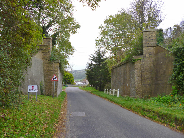
Image: © Robin Webster Taken: 28 Oct 2014
This carried the Elham Valley line from Folkestone to Canterbury until closure in 1947.
Images are licensed for reuse under creativecommons.org/licenses/by-sa/2.0
Image Location
Latitude
51.098334
Longitude
1.118197