Road to Hawkridge from Coldridge
Introduction
The photograph on this page of Road to Hawkridge from Coldridge by David Smith as part of the Geograph project.
The Geograph project started in 2005 with the aim of publishing, organising and preserving representative images for every square kilometre of Great Britain, Ireland and the Isle of Man.

There are currently over 7.5m images from over 14,400 individuals and you can help contribute to the project by visiting https://www.geograph.org.uk
Road to Hawkridge from Coldridge
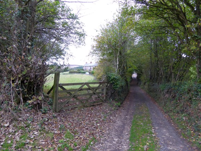
Image: © David Smith Taken: 27 Oct 2014
The narrow road north from Coldridge; On the left, a bridleway (just to the left of the gate) leads towards Brushford. Through the gate, is a terrace of three houses (in Image) overlooking the field. On maps they are named Mount Evelyn
Images are licensed for reuse under creativecommons.org/licenses/by-sa/2.0
Image Location
Latitude
50.8562
Longitude
-3.855861