Ford Farm
Introduction
The photograph on this page of Ford Farm by Derek Harper as part of the Geograph project.
The Geograph project started in 2005 with the aim of publishing, organising and preserving representative images for every square kilometre of Great Britain, Ireland and the Isle of Man.

There are currently over 7.5m images from over 14,400 individuals and you can help contribute to the project by visiting https://www.geograph.org.uk
Ford Farm
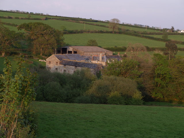
Image: © Derek Harper Taken: 1 May 2007
An attractive group of farm buildings in a valley north of Sydenham Damerel. Seen from the lane from Leigh Cross (and which also carries the Tamar Valley Discovery Trail).
Images are licensed for reuse under creativecommons.org/licenses/by-sa/2.0
Image Location
Latitude
50.571688
Longitude
-4.255632