Houses near road junction in Hadstock
Introduction
The photograph on this page of Houses near road junction in Hadstock by Trevor Littlewood as part of the Geograph project.
The Geograph project started in 2005 with the aim of publishing, organising and preserving representative images for every square kilometre of Great Britain, Ireland and the Isle of Man.

There are currently over 7.5m images from over 14,400 individuals and you can help contribute to the project by visiting https://www.geograph.org.uk
Houses near road junction in Hadstock
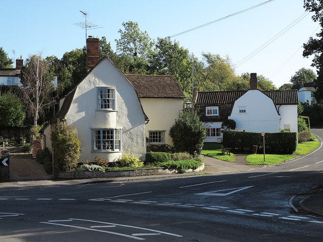
Image: © Trevor Littlewood Taken: 10 Oct 2014
The near road is the B1052 which passes through the village. The houses which feature mainly in the image have gambrel roofs; roofs which slope at two separate angles. (Note: Gambrel roofs (apparently) have vertical gables whereas a mansard roof has the double slope feature on all sides.)
Images are licensed for reuse under creativecommons.org/licenses/by-sa/2.0
Image Location
Latitude
52.080324
Longitude
0.273953