End of the third rail near a Lymington level crossing
Introduction
The photograph on this page of End of the third rail near a Lymington level crossing by Jaggery as part of the Geograph project.
The Geograph project started in 2005 with the aim of publishing, organising and preserving representative images for every square kilometre of Great Britain, Ireland and the Isle of Man.

There are currently over 7.5m images from over 14,400 individuals and you can help contribute to the project by visiting https://www.geograph.org.uk
End of the third rail near a Lymington level crossing
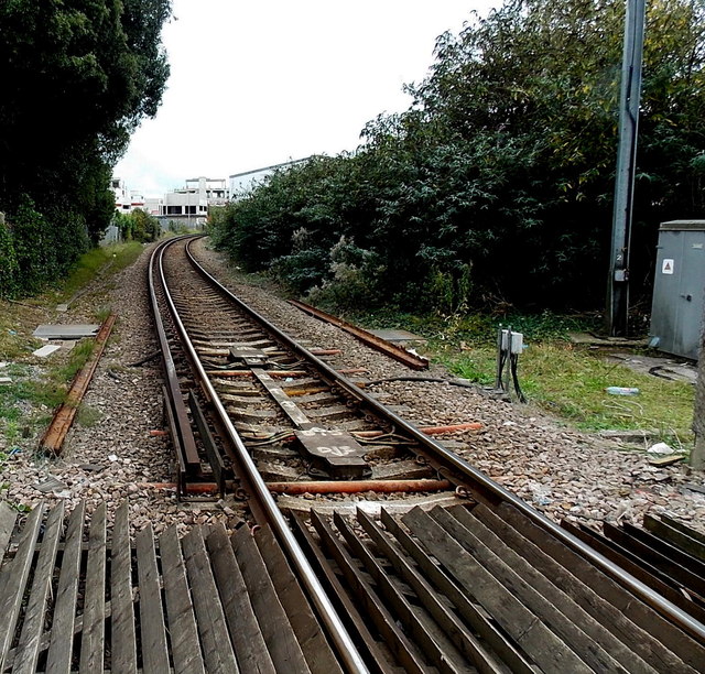
Image: © Jaggery Taken: 27 Sep 2014
Viewed from this http://www.geograph.org.uk/photo/4221037 Bridge Road level crossing. On the left, the electrified third rail which powers trains ends near the roadway. It resumes about 20 metres away http://www.geograph.org.uk/photo/4221057 on the other side of the crossing.
Images are licensed for reuse under creativecommons.org/licenses/by-sa/2.0
Image Location
Latitude
50.762317
Longitude
-1.538155