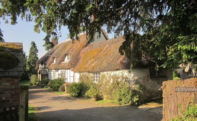
Ugford Cottage
Introduction
The photograph on this page of Ugford Cottage by Derek Harper as part of the Geograph project.
The Geograph project started in 2005 with the aim of publishing, organising and preserving representative images for every square kilometre of Great Britain, Ireland and the Isle of Man.
There are currently over 7.5m images from over 14,400 individuals and you can help contribute to the project by visiting https://www.geograph.org.uk

Image: © Derek Harper Taken: 20 Jun 2014
Confusion here. This is undoubtedly the Ugford Old Farmhouse that is listed and described at http://list.english-heritage.org.uk/resultsingle.aspx?uid=1146144&searchtype=mapsearch , but they have mislocated it on their map; understandable as "Old Farm House" is mapped by the OS 200 metres further east and this is called Ugford Cottage on the maps, in spite of the name in the foreground of my image. I think the photos at http://www.britishlistedbuildings.co.uk/en-320705-ugford-old-farmhouse-burcombe-without-/photos show the other Ugford Farmhouse, but this building is correctly portrayed at http://www.imagesofengland.org.uk/Details/Default.aspx?id=320705&mode=adv . This view is from the A30; the farmhouse stands at right-angles to the main road.

