Public domain, southeast corner of Gorsey Lane and Alcester Road, Wythall
Introduction
The photograph on this page of Public domain, southeast corner of Gorsey Lane and Alcester Road, Wythall by Robin Stott as part of the Geograph project.
The Geograph project started in 2005 with the aim of publishing, organising and preserving representative images for every square kilometre of Great Britain, Ireland and the Isle of Man.

There are currently over 7.5m images from over 14,400 individuals and you can help contribute to the project by visiting https://www.geograph.org.uk
Public domain, southeast corner of Gorsey Lane and Alcester Road, Wythall
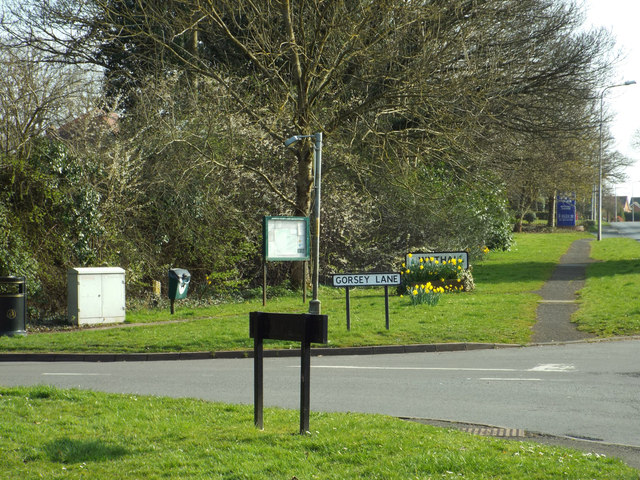
Image: © Robin Stott Taken: 29 Mar 2014
The parish council has established a presence here with a noticeboard, a litter bin, a dog waste bin and a village sign and flower box. Just south on the Alcester Road is the police station Image An old map names the area as Wythall Heath: perhaps the lanes were fringed with gorse; perhaps the pastures have been won from poor, gorse-infested land. The Gorsey Lane turning is opposite Brick Kiln Lane, another evocative name, not yet explored.
Images are licensed for reuse under creativecommons.org/licenses/by-sa/2.0
Image Location
Latitude
52.378652
Longitude
-1.884783