Houses, east side of Alcester Road, Wythall
Introduction
The photograph on this page of Houses, east side of Alcester Road, Wythall by Robin Stott as part of the Geograph project.
The Geograph project started in 2005 with the aim of publishing, organising and preserving representative images for every square kilometre of Great Britain, Ireland and the Isle of Man.

There are currently over 7.5m images from over 14,400 individuals and you can help contribute to the project by visiting https://www.geograph.org.uk
Houses, east side of Alcester Road, Wythall
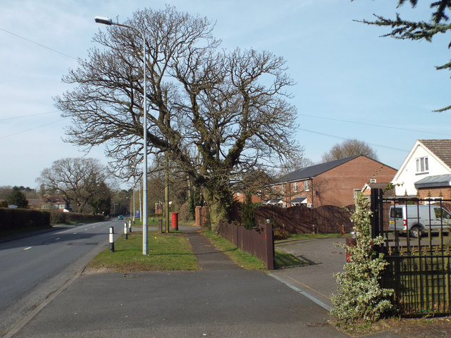
Image: © Robin Stott Taken: 29 Mar 2014
It is not until the 1938 OS map that we see that significant residential development has taken place – along the roads but in small groups, not yet joined-up ribbon development. An old hedgerow oak is not having any suburban constraints. Postbox number B47 263.
Images are licensed for reuse under creativecommons.org/licenses/by-sa/2.0
Image Location
Latitude
52.377482
Longitude
-1.884346