Yet another derelict cottage at Maenaddwyn
Introduction
The photograph on this page of Yet another derelict cottage at Maenaddwyn by Eric Jones as part of the Geograph project.
The Geograph project started in 2005 with the aim of publishing, organising and preserving representative images for every square kilometre of Great Britain, Ireland and the Isle of Man.

There are currently over 7.5m images from over 14,400 individuals and you can help contribute to the project by visiting https://www.geograph.org.uk
Yet another derelict cottage at Maenaddwyn
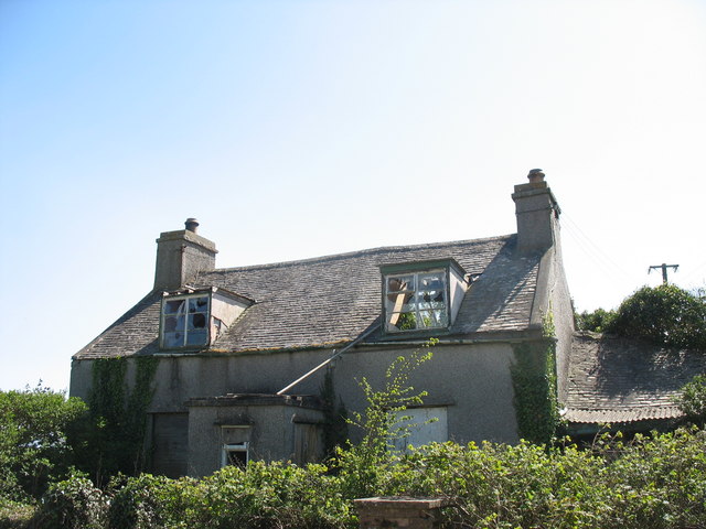
Image: © Eric Jones Taken: 1 May 2007
The Maenaddwyn area shows evidence of depopulation, with many abandoned cottages. On the 1:25,000 OS map, this dilapidated cottage is securely in square SH4684. On the more clumsily drawn OS 1:50,000 map, it is shown in the neighbouring SH4683 square. This is quite a common problem when using these maps and stems from the practice of showing buildings as blobs rather than trying to represent their actual shapes.
Images are licensed for reuse under creativecommons.org/licenses/by-sa/2.0
Image Location


Leaflet Map data © OpenStreetMap
Latitude
53.330643
Longitude
-4.312804