Unused path
Introduction
The photograph on this page of Unused path by Trevor Harris as part of the Geograph project.
The Geograph project started in 2005 with the aim of publishing, organising and preserving representative images for every square kilometre of Great Britain, Ireland and the Isle of Man.

There are currently over 7.5m images from over 14,400 individuals and you can help contribute to the project by visiting https://www.geograph.org.uk
Unused path
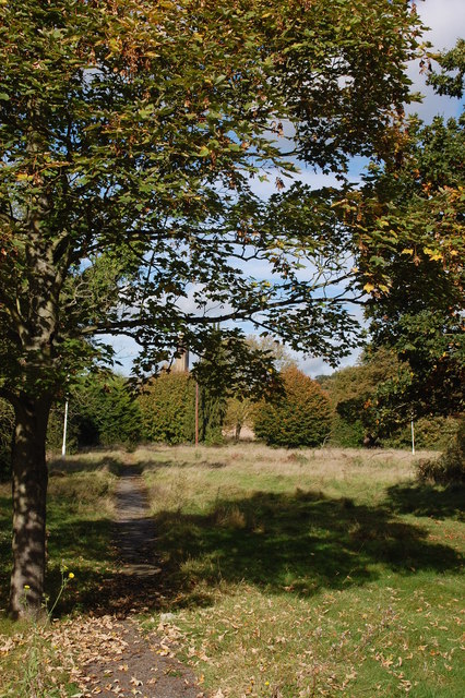
Image: © Trevor Harris Taken: 20 Oct 2014
Taken through the security fence which surrounds the site of what was Runwell Hospital. A view along a disused path through the grounds of the very large former mental hospital, now mainly demolished.
Images are licensed for reuse under creativecommons.org/licenses/by-sa/2.0
Image Location
Latitude
51.632559
Longitude
0.542528