Rear of McDougall Centre
Introduction
The photograph on this page of Rear of McDougall Centre by John M as part of the Geograph project.
The Geograph project started in 2005 with the aim of publishing, organising and preserving representative images for every square kilometre of Great Britain, Ireland and the Isle of Man.

There are currently over 7.5m images from over 14,400 individuals and you can help contribute to the project by visiting https://www.geograph.org.uk
Rear of McDougall Centre
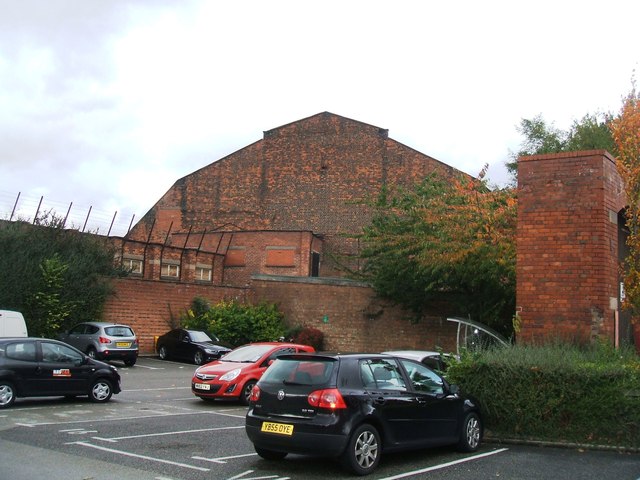
Image: © John M Taken: 20 Oct 2014
Former Drill Hall and Sports Centre on Burlington Street. Unclear whether this is part of the original 1885 building or an extension in matching style in 1939.
Images are licensed for reuse under creativecommons.org/licenses/by-sa/2.0
Image Location
Latitude
53.463297
Longitude
-2.237943