Bullets in the sugarbeet: next to the River Trent at Hazelford Ferry
Introduction
The photograph on this page of Bullets in the sugarbeet: next to the River Trent at Hazelford Ferry by Chris as part of the Geograph project.
The Geograph project started in 2005 with the aim of publishing, organising and preserving representative images for every square kilometre of Great Britain, Ireland and the Isle of Man.

There are currently over 7.5m images from over 14,400 individuals and you can help contribute to the project by visiting https://www.geograph.org.uk
Bullets in the sugarbeet: next to the River Trent at Hazelford Ferry
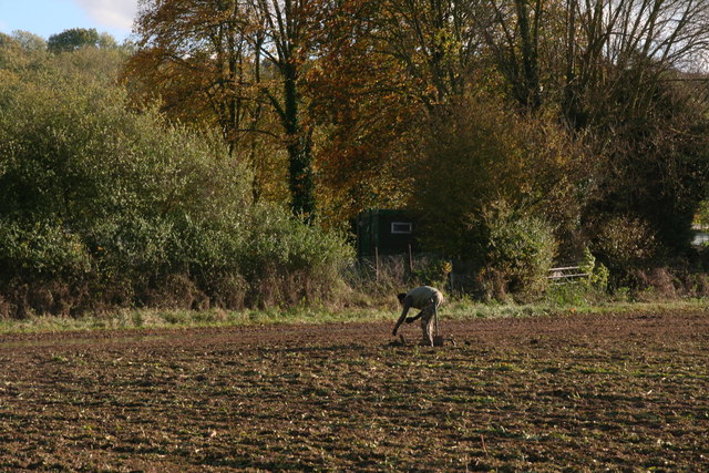
Image: © Chris Taken: 19 Oct 2014
A bullet is unearthed and painstakingly cleaned in a soggy field covered in chopped greenery and the mangled remains of a sugarbeet crop. Other treasures have included musket balls. On the east bank of the Trent is Syerston Airfield, but more distant military history includes the positioning of Cromwell's troops in that area, hence the interesting pickings.
Images are licensed for reuse under creativecommons.org/licenses/by-sa/2.0
Image Location
Latitude
53.032659
Longitude
-0.920339