Junction ahead, Orchard Way, Banbury
Introduction
The photograph on this page of Junction ahead, Orchard Way, Banbury by Jaggery as part of the Geograph project.
The Geograph project started in 2005 with the aim of publishing, organising and preserving representative images for every square kilometre of Great Britain, Ireland and the Isle of Man.

There are currently over 7.5m images from over 14,400 individuals and you can help contribute to the project by visiting https://www.geograph.org.uk
Junction ahead, Orchard Way, Banbury
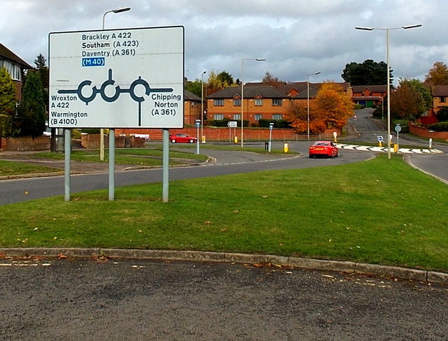
Image: © Jaggery Taken: 18 Oct 2014
Looking along Orchard Way towards its northern end. The right turn ahead for Chipping Norton is also the way to Banbury town centre.
Images are licensed for reuse under creativecommons.org/licenses/by-sa/2.0
Image Location
Latitude
52.065495
Longitude
-1.350812