Pentre-coed to Gadlas road
Introduction
The photograph on this page of Pentre-coed to Gadlas road by Richard Webb as part of the Geograph project.
The Geograph project started in 2005 with the aim of publishing, organising and preserving representative images for every square kilometre of Great Britain, Ireland and the Isle of Man.

There are currently over 7.5m images from over 14,400 individuals and you can help contribute to the project by visiting https://www.geograph.org.uk
Pentre-coed to Gadlas road
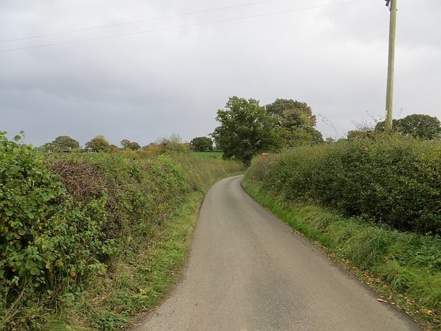
Image: © Richard Webb Taken: 19 Oct 2014
Taken quickly, but while stationary outside. The road was busy due to a road closure at Dudleston Heath.
Images are licensed for reuse under creativecommons.org/licenses/by-sa/2.0
Image Location
Latitude
52.936683
Longitude
-2.937472