Bowness on Solway: eastern end
Introduction
The photograph on this page of Bowness on Solway: eastern end by Stephen McKay as part of the Geograph project.
The Geograph project started in 2005 with the aim of publishing, organising and preserving representative images for every square kilometre of Great Britain, Ireland and the Isle of Man.

There are currently over 7.5m images from over 14,400 individuals and you can help contribute to the project by visiting https://www.geograph.org.uk
Bowness on Solway: eastern end
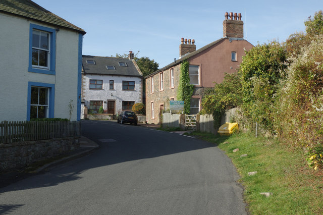
Image: © Stephen McKay Taken: 2 Oct 2014
This is where the road from Port Carlisle enters Bowness Village. Shore Gate House, the first house on the right, is an old corn mill dating from 1684 and now offers bed and breakfast accommodation.
Images are licensed for reuse under creativecommons.org/licenses/by-sa/2.0
Image Location
Latitude
54.953976
Longitude
-3.211674